Archaeological site · Villanueva de Alcorón
La Hoya del Villar hillfort (Villanueva de Alcorón): excavations in progress
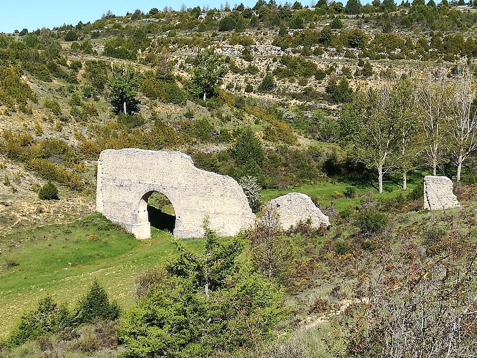
La Hoya del Villar is a Celtiberian hillfort from the Late Iron Age beside the road from Villanueva de Alcorón to Peñalén. Excavated since 2021 as part of a project studying the spread of hillforts in Alto Tajo and Serranía de Cuenca, it has revealed a dry-stone wall, houses built against it and an entrance defended by an angled bastion and a tower.
Lands and landscapes
From here, follow the memory of the territory
These readings connect La Hoya del Villar hillfort (Villanueva de Alcorón): excavations in progress with the history, work, and villages around it.
This place across time
Which eras you can read here
A single place can preserve traces from different eras. These layers connect what you see with the stories in the atlas.
- Municipality
- Villanueva de Alcorón
- Province
- Guadalajara
- Altitude
- 1,309 m
- Late Iron Age
- Excavations since 2021
- Entrance tower and bastion
- Between 8 and 10 families
A hillfort in full excavation
In the municipality of Villanueva de Alcorón, beside the track leading toward Peñalén, lies one of the most active archaeological sites in Alto Tajo. The castro de la Hoya del Villar has been investigated since 2021 as part of a general project on the castrification of Alto Tajo and the Serranía de Cuenca: how, from the Bronze Age to the end of the Second Iron Age, these lands organized themselves with fortified settlements on high ground. It is directed by Dr Jesús Francisco Torres Martínez and Dr Santiago David Domínguez Solera (Imbeac and Heroica teams), driven by the Town Hall and financed by the Diputación de Guadalajara. In 2025 the fifth fieldwork campaign took place.
What has appeared
The hillfort has the essential features of Celtiberian fortified settlements: a dry-stone rampart and rectangular houses built against its inner face. In the Second Iron Age it may have sheltered between eight and ten families. The big surprise has been the entrance: an angled elbow bastion reinforced with a tower, which according to the directors indicates a greater defensive and architectural scale than expected for a hillfort of this size. In addition, materials from the Late Bronze Age or First Iron Age have emerged, from around 3,000 years ago, showing the site was already occupied before the Celtiberian stage.
One hillfort among many
La Hoya del Villar was part of a settlement network with capitals or oppida, medium and small hillforts, and fortified farmsteads. To explore that world, the narrative of the Celtiberians of Alto Tajo surveys the region’s hillforts. Very close by are the Sima de Alcorón and Sendero 7 of the lime kilns.
Visiting it
We must be clear: of all the Celtiberian sites in the Señorío, today only two are genuinely prepared for visitors, El Ceremeño in Herrería and Peña Moñuz in Olmeda de Cobeta. La Hoya del Villar is scarcely adapted for the public: unarranged, almost without signs, and with what can be seen with the naked eye very difficult to interpret without assistance. If you approach, do not stray from the paths, do not climb onto the walls, and do not pick up anything from the ground. It is actively being excavated; the Town Hall has announced route improvements and informational days in summer.
Frequently asked questions
Can you visit La Hoya del Villar hillfort?
It is not ready yet: excavation is ongoing and there are few facilities for visitors. Villanueva de Alcorón council has announced work to present the fortified entrance and information days in summer. For hillforts prepared for visitors, the reference sites are El Ceremeño (Herrería) and Peña Moñuz (Olmeda de Cobeta).
Location
● Reference point · ● Villages · ● Places
Location diagram. Detailed map with tracks and names loads on zoom.
Reference villages: Villanueva de Alcorón · Carrascosa de la Sierra · Valsalobre · Peñalen.
Open the full map and historical layers →