Village · Guadalajara · 1,150 m
Rueda de la Sierra
Rueda de la Sierra, around 1,150 metres in Campo de Molina, is where the Piedra river rises, the river that gives its name to Monasterio de Piedra in Zaragoza. It has the Romanesque Nuestra Señora de las Nieves church, wayside shrines, chapels and the Vallejo family house. Narciso Martínez Izquierdo, first bishop of Madrid-Alcalá, was born here in 1830. It includes Cillas village.
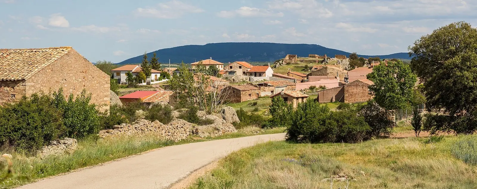
What to see in Rueda de la Sierra
- The church of Nuestra Señora de las Nieves, rural Romanesque.
- The hermitages of La Soledad and Santa Bárbara, the pairones of the Virgen de las Nieves and El Pilar, the Casa de los Vallejo, and its two public fountains.
- The monolith to Bishop Narciso Martínez Izquierdo.
The Piedra River
In the territory of Rueda the Piedra River rises, flowing towards Aragon and, already in Zaragoza, forming the waterfalls of the Monasterio de Piedra. Rueda lies on the watershed: its waters flow not to the Tagus, but to the Ebro.
A bishop of Madrid
Here in 1830 Narciso Martínez Izquierdo was born, Bishop of Salamanca and later first bishop of Madrid-Alcalá. Until 1916 the village was simply named Rueda.
Nearby
Cillas, a hamlet of the municipality, with its sanctuary of La Concepción; Cubillejo del Sitio and Tortuera.
Places in and around Rueda de la Sierra
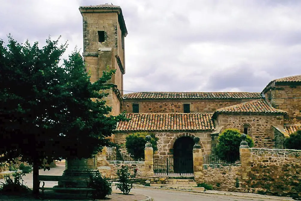
Near Rueda de la Sierra
Pairón de San Juan Bautista (Cubillejo del Sitio)
Cubillejo del SitioLos Rodiles (Cubillejo de la Sierra): an oppidum facing Rome
Cubillejo de la SierraTriassic rivers in Rillo de Gallo: current traces from 240 million years ago
Rillo de Gallo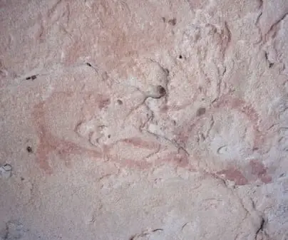
Rock shelters of Rillo de Gallo: UNESCO World Heritage Levantine art
Rillo de GalloSanctuary of La Concepción in Cillas, Meeting Place of the Sexma del Campo
CillasPonce de León Tower (Cubillejo de la Sierra) and its Museum
Cubillejo de la Sierra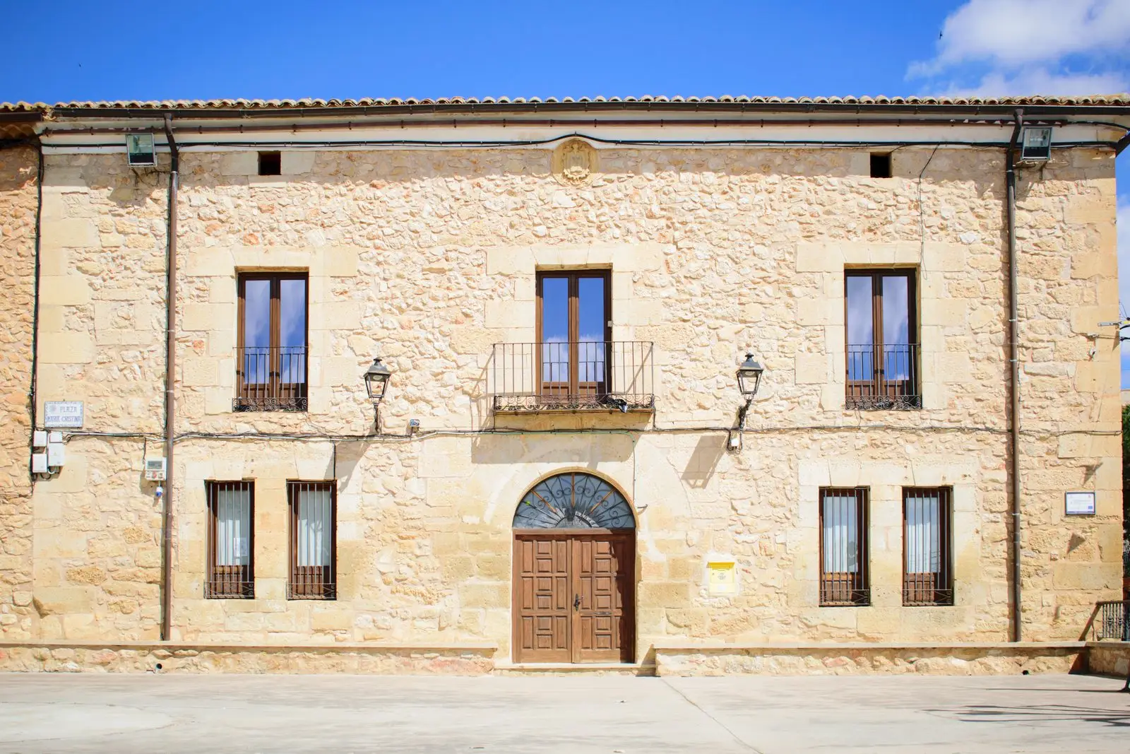
Molina-style manor houses of Tortuera
TortueraLagunas y parameras del Señorío de Molina: Natura 2000 wetland plains
TortueraPopulation of Rueda de la Sierra, 1842–2021
Rueda de la Sierra reached a peak of 481 inhabitants in 1940 . In the 2021 census there were 39 , a decrease of 92%. This is the history told in the emptying of the Alto Tajo.
Climate in Rueda de la Sierra month by month
2015–2024 averages from Copernicus ERA5 reanalysis for an altitude of approx. 1,150 m. Useful for planning, not a substitute for live forecasts.
Location
● Reference point · ● Villages · ● Places
Location diagram. Detailed map with tracks and names loads on zoom.
Reference villages: Cillas · Cubillejo del Sitio · Torrubia · Pardos.
Open the full map and historical layers →