Village · Guadalajara · 1,119 m
Cillas
Cillas is a hamlet of Rueda de la Sierra at about 1,120 metres, settled in the 12th century and an independent municipality until 1970. Its name means on the slopes of the hill. It has about sixty houses, the church of Santa Cruz, a roadside pairón, a manor palace, and the sanctuary of La Concepción where councils of the Sexma del Campo met.
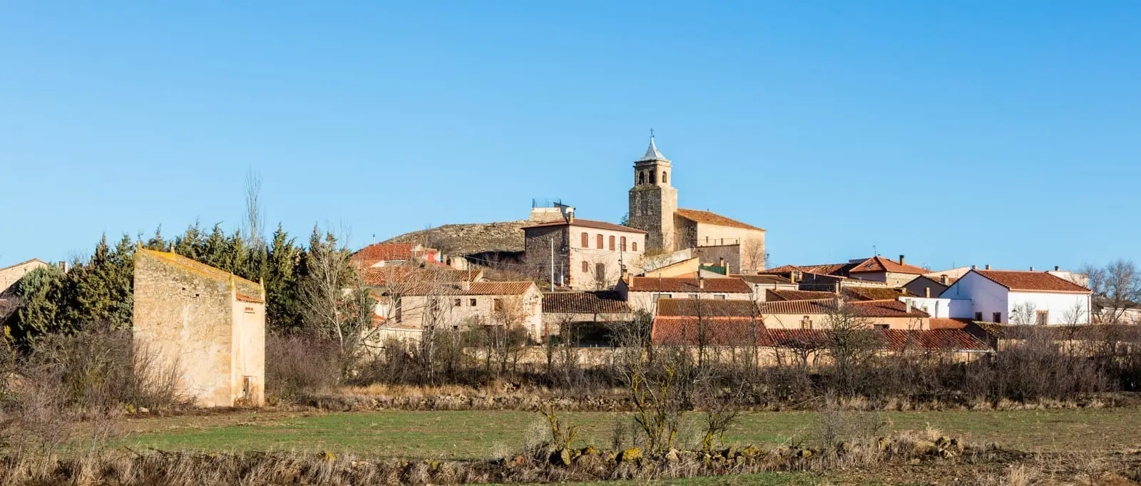
What to see in Cillas
- The sanctuary of La Concepción, where delegates of the Sexma del Campo gathered.
- The church of Santa Cruz, the pairón de la Virgen, and a hamlet featuring a noble palace.
On the hill slope
Cillas was settled in the 12th century, and its name is understood to mean on the slopes of the hill. It has around sixty houses along Calle Cerro and Calle Serna. It was a municipality until 1970, when it merged into Rueda de la Sierra. It celebrates San Pedro on the first weekend of July.
Nearby
Rueda de la Sierra, where the Piedra river rises, Torrubia and Tortuera.
Places in and around Cillas
Near Cillas
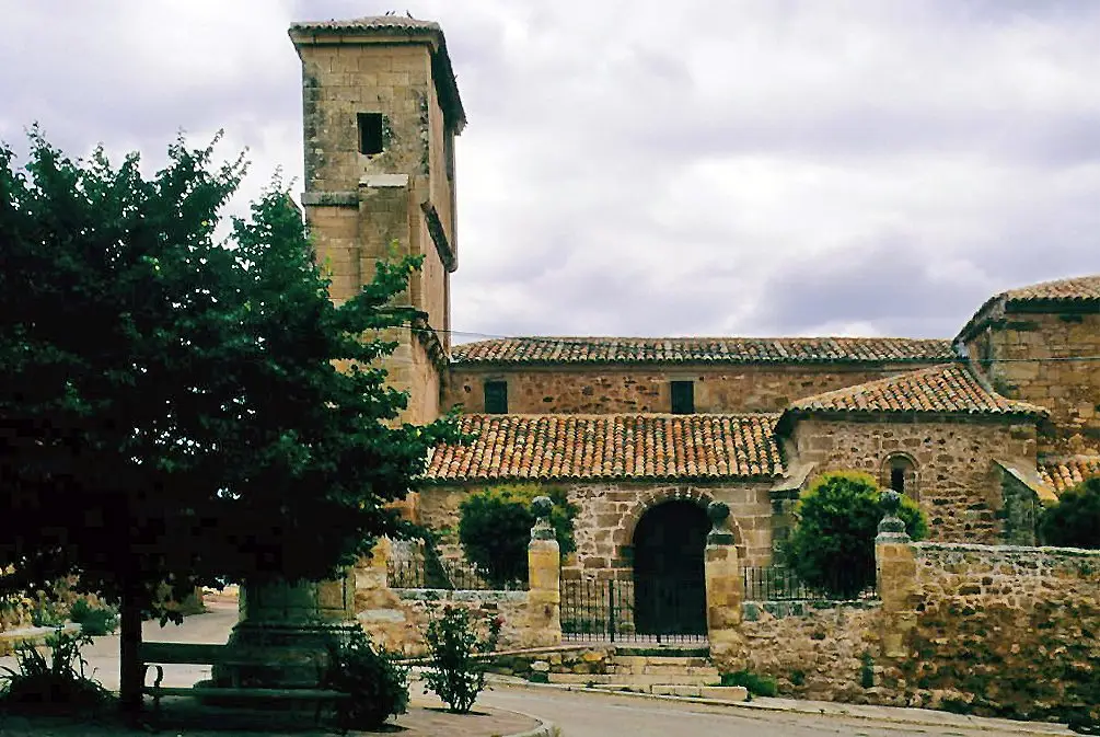
Church of Nuestra Señora de las Nieves (Rueda de la Sierra)
Rueda de la Sierra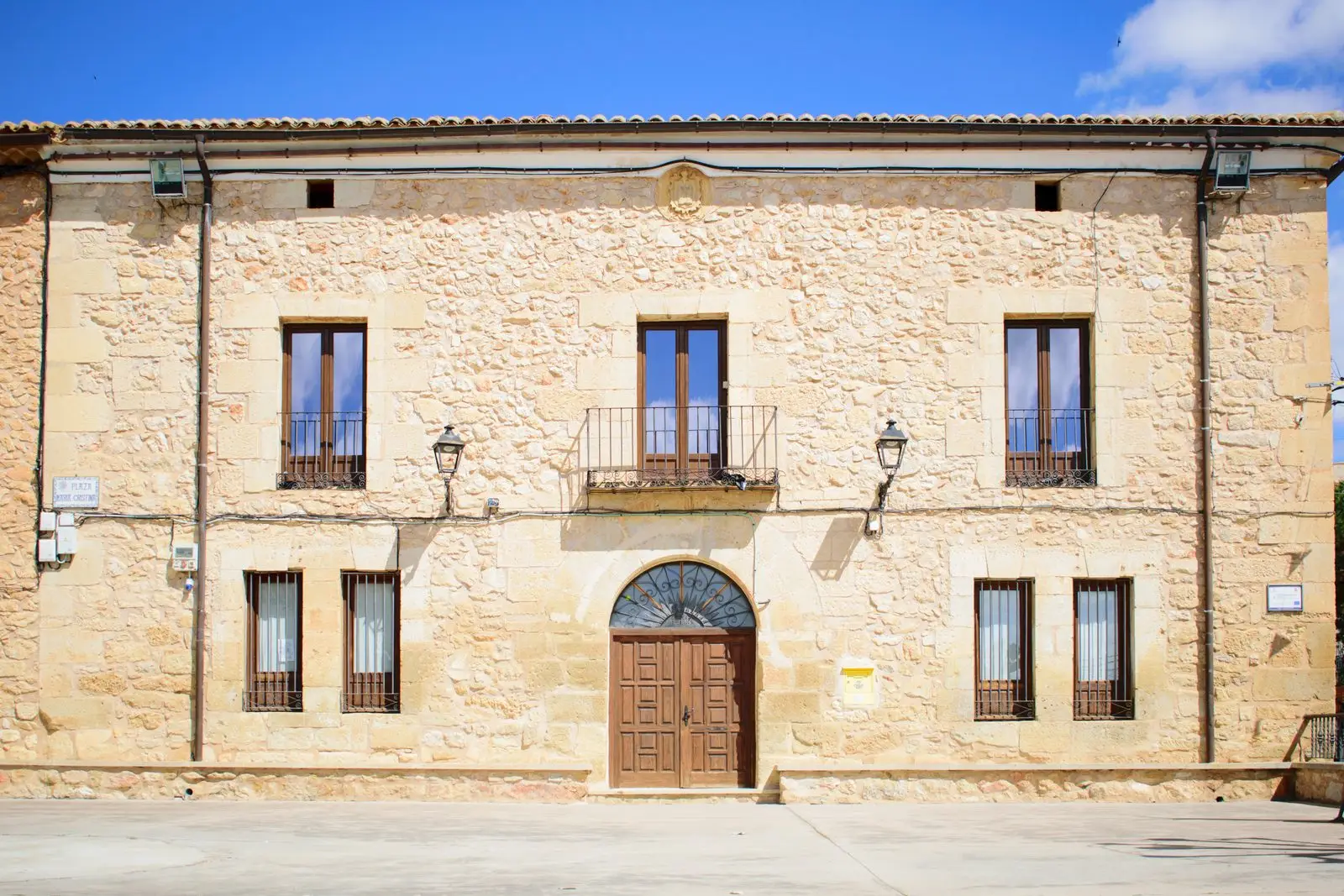
Molina-style manor houses of Tortuera
TortueraLagunas y parameras del Señorío de Molina: Natura 2000 wetland plains
TortueraPairón de San Juan Bautista (Cubillejo del Sitio)
Cubillejo del SitioLagoons of Tortuera: the wetland trail of the high plateau
TortueraLos Rodiles (Cubillejo de la Sierra): an oppidum facing Rome
Cubillejo de la SierraCasa de los Utrera: the Baroque palace of Tartanedo
Tartanedo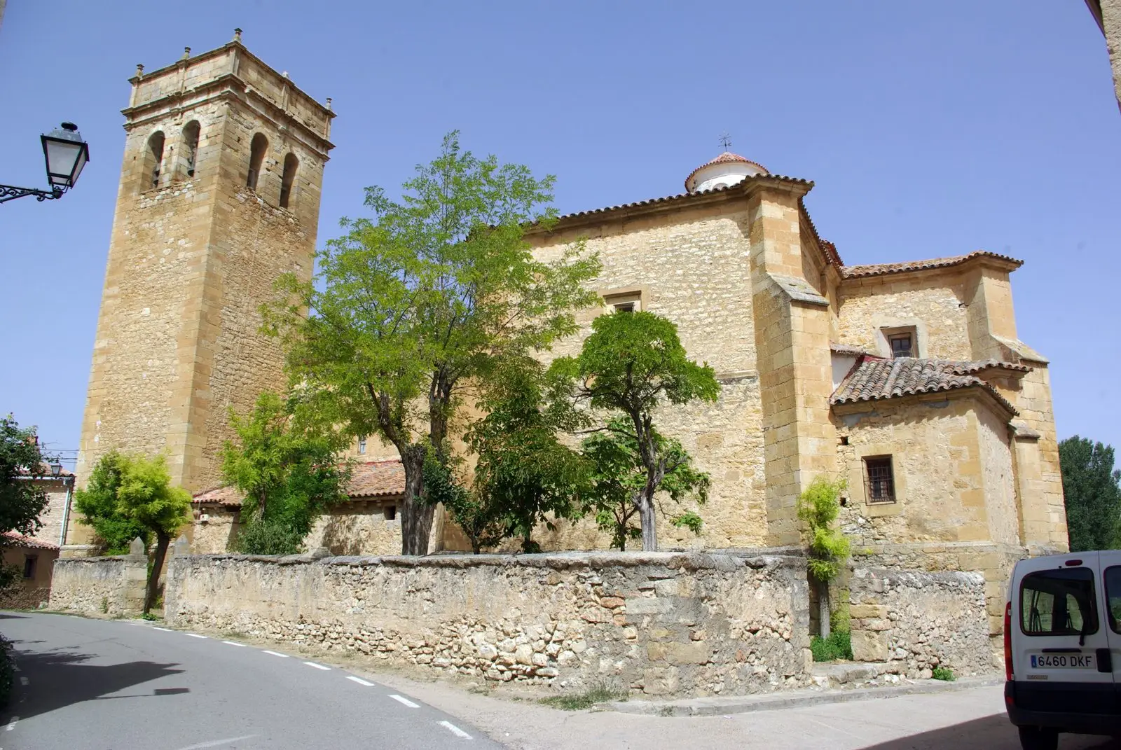
Church of San Bartolomé (Tartanedo): Romanesque portal with carved beasts
TartanedoPopulation of Cillas, 1842–1960
Cillas reached a peak of 273 inhabitants in 1900 ; in 1960 it had 151, before merging into the municipality of Rueda de la Sierra.
Climate in Cillas month by month
2015–2024 averages from Copernicus ERA5 reanalysis for an altitude of approx. 1,119 m. Useful for planning, not a substitute for live forecasts.
Location
● Reference point · ● Villages · ● Places
Location diagram. Detailed map with tracks and names loads on zoom.
Reference villages: Rueda de la Sierra · Torrubia · Tortuera · Cubillejo del Sitio.
Open the full map and historical layers →