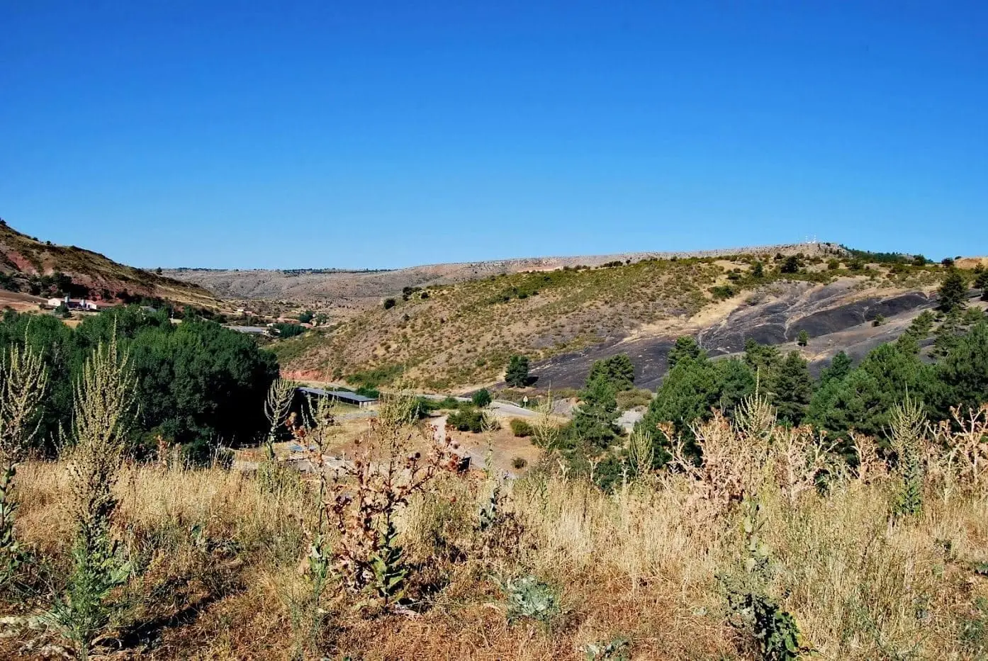
Canyon · Checa
Rambla Malilla (Checa): the gorge running down to the Tajillo
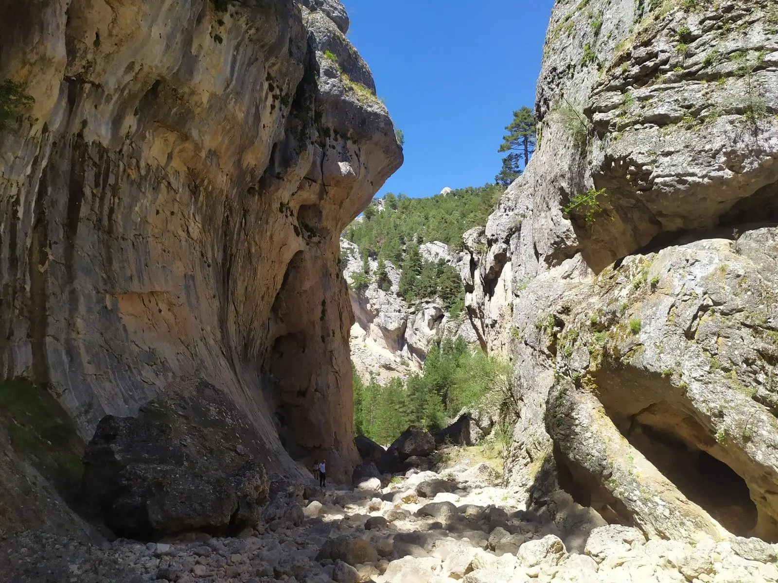
Rambla Malilla is the final stretch of Arroyo de los Huecos before it flows into a still-youthful Tagus, the «Tajillo», in Checa. Rising at the foot of Mojón Blanco (1,792 m) on the Guadalajara-Teruel border, its final section becomes an elongated canyon of great ruggedness and beauty.
Rivers and basins
The thread of water from Rambla Malilla (Checa): the gorge running down to the Tajillo
Follow these watercourses towards their confluences, villages, and basin history.
Lands and landscapes
From here, follow the memory of the territory
These readings connect Rambla Malilla (Checa): the gorge running down to the Tajillo with the history, work, and villages around it.
- Municipality
- Checa
- Province
- Guadalajara
- Narrow gorge
- Young Tagus
- Mojón Blanco
- Marked trail
From the high peaks to the Tajillo
The Arroyo de los Huecos rises on the slopes of Mojón Blanco, right on the Teruel border, and runs down to meet the Tagus where it is still small: the Tajillo. In its final stretch, taking the name Rambla Malilla, it narrows into an elongated canyon flanked by sheer rock walls, forming one of the most rugged corners of the Alto Tajo.
How to explore it
Located within the municipality of Checa.
Location
● Reference point · ● Villages · ● Places
Location diagram. Detailed map with tracks and names loads on zoom.
Approximate position: village centre.
Reference villages: Checa · Chequilla · Alcoroches · Orea.
Open the full map and historical layers →