Viewpoint · Checa
Mirador de la Cuesta del Acebar: the Hoz Seca canyon
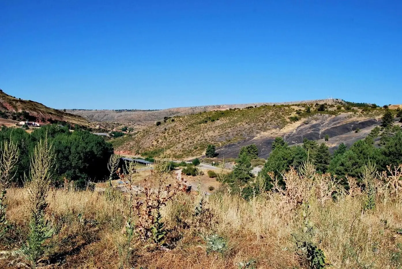
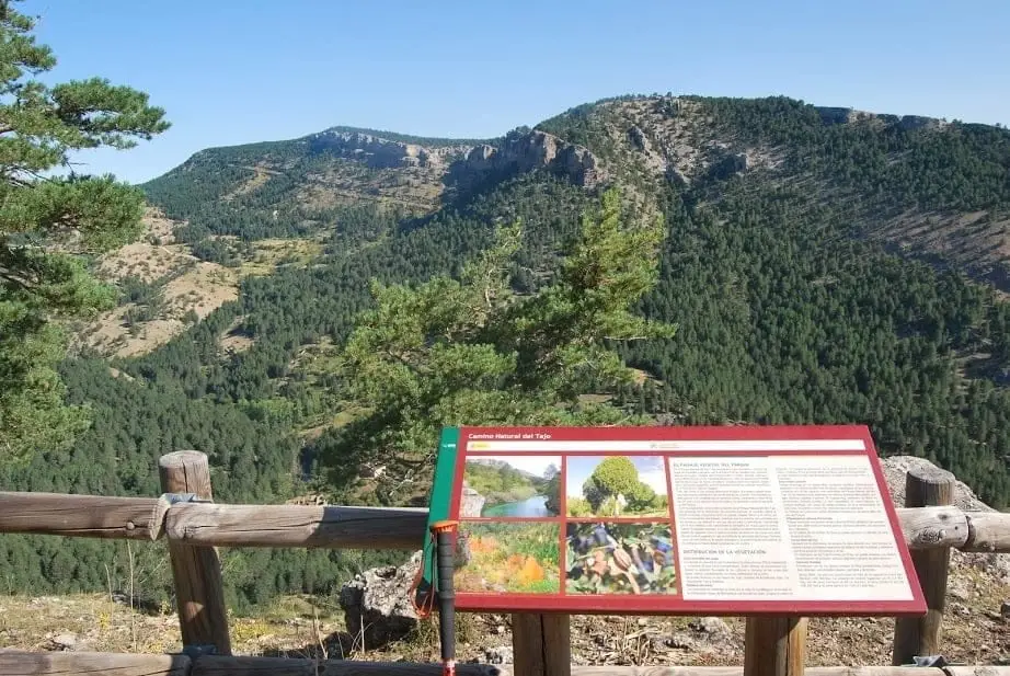
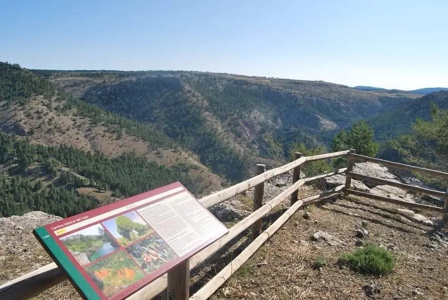
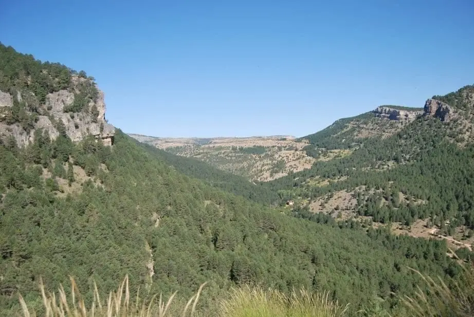
The Mirador de la Cuesta del Acebar is a little-known rocky outcrop in the foothills of Sierra de Molina, in Checa, overlooking the final canyon stretch of the Hoz Seca River before joining the Tagus. A quiet, remote spot looking over high juniper plains, sunny pine woods, and the ruins of an old iron forge.
Lands and landscapes
From here, follow the memory of the territory
These readings connect Mirador de la Cuesta del Acebar: the Hoz Seca canyon with the history, work, and villages around it.
- Best season
- Spring and autumn
- Municipality
- Checa
- Province
- Guadalajara
- Quiet
- Hoz Seca canyon
- Juniper plains
- Remote setting
Where human footprints almost vanish
Cuesta del Acebar is one of those secluded spots that is not easy to reach. From its rocky ledge you overlook the final stretch of the Hoz Seca canyon, just before it delivers its waters to a still-youthful Tagus.
Reading the landscape
On the high plateaus you see typical open juniper woodland, giving way on the sun-facing canyon slopes to Scots pine. Along the cliff faces, sedimentary layers exposed by erosion stand clear. Below among the trees lie the stone remains of an old hydraulic iron forge.
Before you go
It is a remote place: bring a map or track, water, and let someone know your route. Very close by is the confluence of the two rivers, Las Juntas del Tajo con el Hoz Seca.
Photo: El Observario
Location
● Reference point · ● Villages · ● Places
Location diagram. Detailed map with tracks and names loads on zoom.
Approximate position: village centre.
Reference villages: Checa · Chequilla · Alcoroches · Orea.
Open the full map and historical layers →