Layer of time · 1st – 4th centuries AD
Rome in the canyon
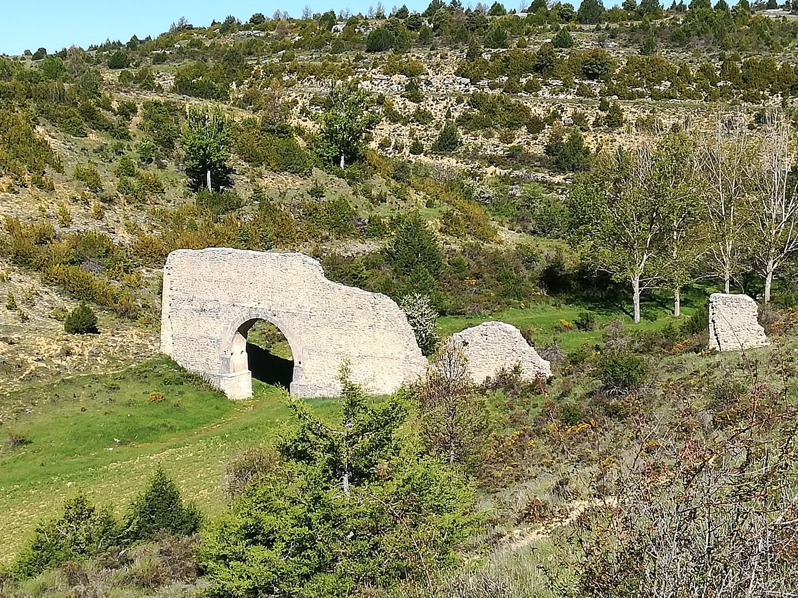
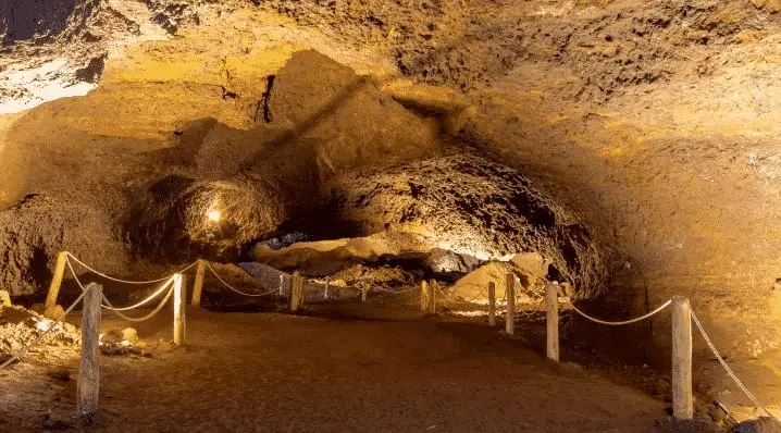
A double-tiered aqueduct in Zaorejas, perhaps linked to a mansio on the road between Laminium and Caesaraugusta, and the iron mining galleries of Cueva del Hierro: Rome arrived in the Alto Tajo in search of water, transport routes, and metal.
A selection of traces related to this era. Dates correspond to the historical layer; a location may have other origins, transformations, and subsequent uses. Contested attributions are noted in their guides.
Stories of this layer
- The water Rome brought across
Zaorejas’s aqueduct, Las Casutillas villa in Corduente and Cueva del Hierro mine: Rome’s sparse, selective presence in Alto Tajo.
Where its trace endures
The era on the map
450 million years ago – present
Before us
Before people, the Alto Tajo was a cold sea near the south pole, a forest buried by ash, a plain of red rivers, salt lagoons, and a tropical ocean; later the earth buckled and the Tagus carved through it. Each era left a rock that can still be seen today.
Upper Palaeolithic – Bronze Age
First traces
Before villages there were rock shelters. In the Cueva de los Casares, Upper Palaeolithic hunters engraved horses, stags, and human figures on the cave walls; at the Gallo shelters and Peña Escrita, later peoples left schematic painted signs on the stone.
7th – 1st centuries BC
Celtiberian hillforts
Settlements perched on spurs with defensive ditches, dry-stone ramparts, and fields of chevaux-de-frise stones. El Ceremeño, Peña Moñuz, and Castil de Griegos tell how people lived, defended themselves, and worked iron in Celtiberia before Rome.
1st – 4th centuries AD
Rome in the canyon
A double-tiered aqueduct in Zaorejas, perhaps linked to a mansio on the road between Laminium and Caesaraugusta, and the iron mining galleries of Cueva del Hierro: Rome arrived in the Alto Tajo in search of water, transport routes, and metal.
1129 – 15th century
The frontier and the Señorío
Borderland between Castile and Aragon, the Señorío de Molina was almost an independent kingdom: castles, watchtowers, a Cistercian monastery, and the salt pans of Armallá already recorded in the 12th-century charter of Manrique de Lara.
16th – 19th centuries
Salt, iron and timber
The Crown took control of the salt pans, ironworks drove tilt hammers with river water, and every winter thousands of logs floated down the Tagus toward Aranjuez guided by timbermen.
1860 – 1960
Resin, hooks and pastoral shelters
The century when the mountains sustained everyday life: resin tappers scoring pine trunks, shepherds sheltering under juniper-thatched chozones, lime kilns smoking beside villages. A world that faded within a single generation.
1936 – 1939
The frontline on the river
The canyon formed part of the Civil War frontline: positions atop the cliffs, guarded river crossings, and bunkers. The memory of the war also encompasses the Molina guerrillas, forestry labor, and local families. The Upper Tajuña valley traces this history on the western flank.
1950 – present
Villages that emptied
Reservoirs severed the river to floating timber, motor trucks retired the muleteers, and villagers migrated to Madrid, Valencia, or Barcelona. Some hamlets were abandoned completely; others endure with a handful of year-round residents.