Water source · Villanueva de Alcorón
Pozo del Soto (Villanueva de Alcorón): a mine that became a lake
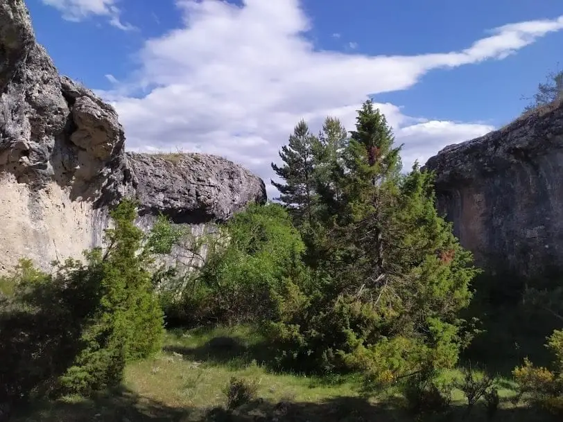
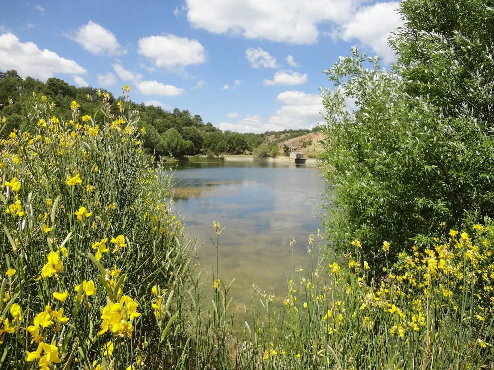
Pozo del Soto, between km 41 and 42 of the CM-2015 near Villanueva de Alcorón, is an old kaolin quarry that flooded when digging pierced a shallow aquifer. Today it is a permanent lake about 40 metres deep that has turned an arid spot into a haven for birds.
Lands and landscapes
From here, follow the memory of the territory
These readings connect Pozo del Soto (Villanueva de Alcorón): a mine that became a lake with the history, work, and villages around it.
- Municipality
- Villanueva de Alcorón
- Province
- Guadalajara
- Altitude
- 1,237 m
- Flooded mine
- 40 m deep
- Kaolin
- Birdlife
A fortunate accident
Workers sought to extract Albian kaolin clay here, but a very shallow aquifer lay just beneath. Digging punctured the water table, and the pit flooded, becoming a permanent body of water. Nearby sits the historic well that gives the spot its name, tapping the same aquifer.
An oasis
The lake is about 40 metres deep and has transformed a dry, stony area into a wetland that draws birdlife. Do not swim: it is deep and the banks are unstable. Located near Villanueva de Alcorón.
Location
● Reference point · ● Villages · ● Places
Location diagram. Detailed map with tracks and names loads on zoom.
Reference villages: Villanueva de Alcorón · El Recuenco · Armallones · Arbeteta.
Open the full map and historical layers →Nearby routes
All routes →Trail 7: the lime kilns of Villanueva de Alcorón
6.3 km · 2.5 h · Circular