Route · Armallones, Poveda de la Sierra, Zaorejas, Villar de Cobeta, Olmeda de Cobeta, Buenafuente del Sistal, Huertapelayo, Valtablado del Río, Oter, Carrascosa de Tajo, Trillo
GR-113, Camino Natural del Tajo, through the Alto Tajo
The Camino Natural del Tajo follows the peninsula's longest river for over 1,000 km, certified as GR-113. In the Alto Tajo Natural Park it covers around 135 km from the Tres Provincias marker in Checa to Carrascosa de Tajo, passing Peralejos, Poveda, and Zaorejas.
Lands and landscapes
From here, follow the memory of the territory
These readings connect GR-113, Camino Natural del Tajo, through the Alto Tajo with the history, work, and villages around it.
- Code
- GR-113
- Distance
- 135 km
- Duration
- 35 h
- Trail type
- Linear
- Difficulty
- Moderate
- Altitude
- 1,209 m
Walking duration without transfers or stops. Check in the official source whether distance and time include the return leg. Difficulty rated according to the official source; verify its conditions and notices. “Easy” does not imply wheelchair or stroller accessibility.
- GR-113
- Over 1,000 km total
- Around 135 km in the Park
- FEDME certified
The river from source to mouth
The trail crosses Teruel, Guadalajara, Madrid, Toledo, and Cáceres from east to west. Its upper course in the Alto Tajo is characterized by swift, crystal-clear waters, cliffs, juniper and pine forests, and valley floors with black pine woodlands, riverbanks, orchard plots, and olive groves. It serves as a sanctuary for golden eagle, Bonelli’s eagle, Egyptian vulture, and griffon vulture.
In the Natural Park
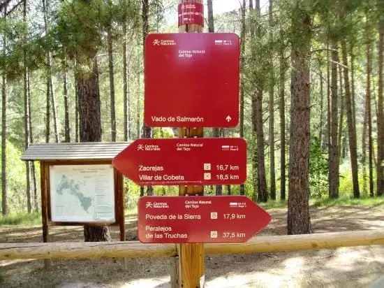
It enters at the Tres Provincias boundary marker, in Sierra Molina (Checa), and passes through Peralejos de las Truchas, Poveda de la Sierra, Peñalén, Zaorejas, Villar de Cobeta, Armallones, and Oter until exiting at Carrascosa de Tajo. It crosses the river via the footbridge of Sendero 10, next to Salto de Poveda.
Trekking regulations
Wild camping is permitted solely under trekking conditions. Organise your stages around villages and trail shelters.
Before you set out
Carry water, mountain footwear, and download the GPS track in advance: mobile reception is absent in many areas. Check the forecast on Today in the Alto Tajo and the official trail sheet for notices and closures, and respect seasonal restrictions during raptor breeding periods.
Official route · Parque Natural del Alto Tajo (Junta de Castilla-La Mancha). Description, track and notices on the official guide. Before setting out, verify there whether changes or closures apply.
Location
● Reference point · ● Villages · ● Places · ━ Simplified official route
Location diagram. Detailed map with tracks and names loads on zoom.
Reference villages: Motos · Orea · Alustante · Tordesilos.
Open the full map and historical layers →Other nearby routes
All routes →GR-10 (E7) through the Alto Tajo: the Valencia to Lisbon trail
130 km · 32 h · Linear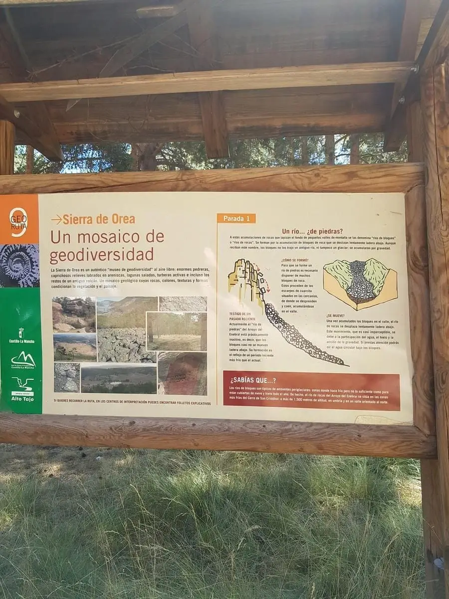
Geotrail 9: the Sierra de Orea
21 km · 5 h · Circular