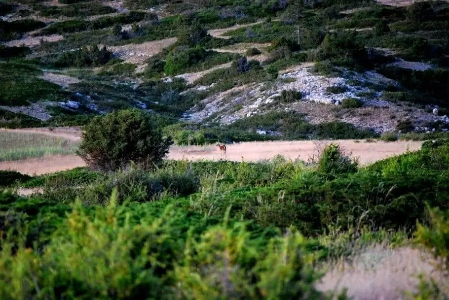
Geosite · Checa
Variscan folds between Checa and Orea: the oldest rock wrinkles
Along the roadside cuttings between Checa and Orea lies a striking sequence of folds in Ordovician and Silurian shales and quartzites over 400 million years old. Far older than the Alpine folds elsewhere in the Park, they were shaped by the Variscan orogeny around 300 million years ago. A National Geosite.
Lands and landscapes
From here, follow the memory of the territory
These readings connect Variscan folds between Checa and Orea: the oldest rock wrinkles with the history, work, and villages around it.
This place across time
Which eras you can read here
A single place can preserve traces from different eras. These layers connect what you see with the stories in the atlas.
- Municipality
- Checa
- Province
- Guadalajara
- National Geosite
- Variscan orogeny
- Ordovician and Silurian
- Beside road
Folded twice over
Most rock folds in the Alto Tajo, such as those at Cuevas Labradas or Peñalén, are Alpine: they formed during the Tertiary. Between Checa and Orea, something much older appears. The rocks here are shales and quartzites from the Ordovician and Silurian, the very beds that hold the graptolites and the dropstone. Their folds were created during an earlier continental collision, the Variscan orogeny, which assembled the continents into a single supercontinent about 300 million years ago.
Where to see them
The road between Checa and Orea cut right through them, leaving them exposed on roadside banks. If you pull over to look, use a safe turnout and avoid climbing onto the cuttings. The Spanish Geological Survey lists them as an official Geosite of Interest.
More to explore
This landscape was folded twice, separated by hundreds of millions of years: the account is in Before us.
Location
● Reference point · ● Villages · ● Places
Location diagram. Detailed map with tracks and names loads on zoom.
Reference villages: Checa · Orea · Alcoroches · Chequilla.
Open the full map and historical layers →More geology and geosites nearby
View all →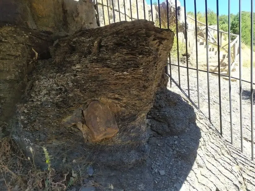
Checa Dropstone: a boulder dropped from an iceberg 440 million years ago
ChecaCheca Graptolites: Fossils That Look Like Writing
ChecaPoljé del Cubillo (Checa): a closed karst valley
Checa