Village · Guadalajara · 1,248 m
Maranchón
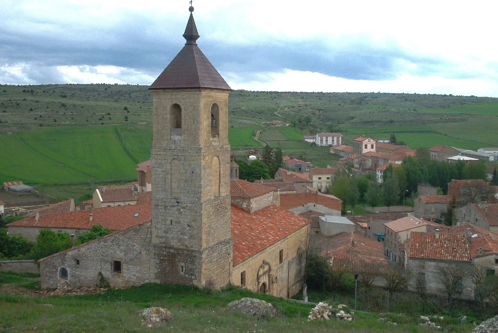
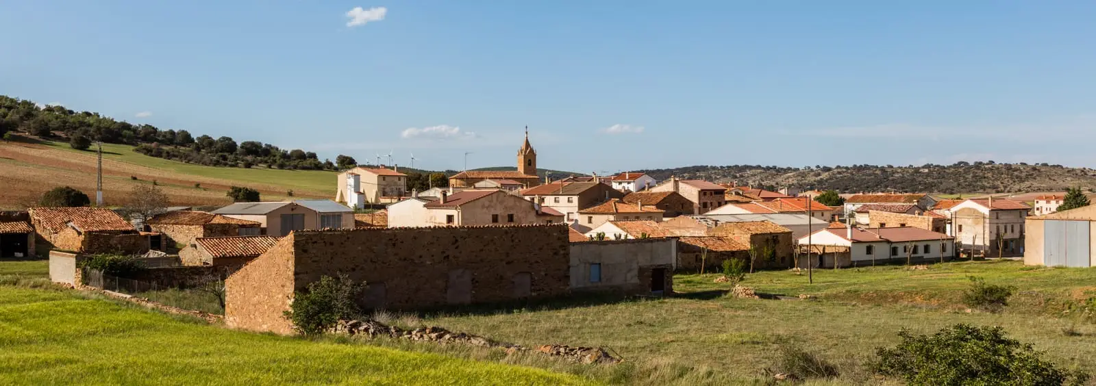
Maranchón stands around 1,250 metres south of Sierra de Solorio, on the Soria boundary, heading the region’s north. Its municipality includes Balbacil, Clares, Codes and Turmiel. Here lie the Parameras de Maranchón, a refuge for Dupont’s lark, and Europe’s largest juniper woodland. El Mirón Palaeontological Museum holds around 1,300 pieces. Population approached 1,800 in 1900.
Lands and landscapes
From here, follow the memory of the territory
These readings connect Maranchón with the history, work, and villages around it.
What to see in Maranchón
- El Mirón Palaeontological Museum, in the former forge, with fossils collected over half a century by two residents.
- Parameras de Maranchón, a protected area and one of Dupont’s lark’s last refuges.
- Maranchón’s juniper woods, part of Europe’s largest Spanish juniper forest.
A disputed name
Several explanations exist for Maranchón. One derives it from Mar Ancho, “wide sea”, referring to an ancient lagoon where the village now stands. Another suggests a pre-Roman origin connected with a boundary, where Arevaci and Lusones territories met. The village lies around 1,250 metres, south of Sierra de Solorio, almost in Soria. In 1900 it had nearly 1,800 inhabitants, among the northern Señorío’s largest settlements.
Within the municipality
It includes Balbacil, Clares, Codes, with its August soldadesca, and Turmiel. Nearby are Ciruelos del Pinar and Luzón.
Places in and around Maranchón
Routes linked to Maranchón
Near Maranchón
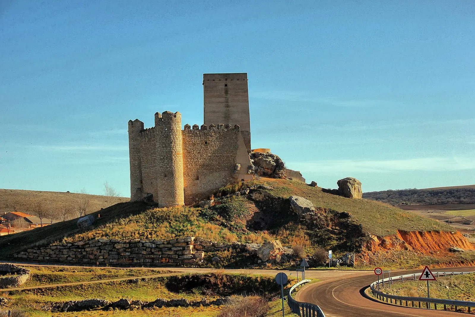
Council Pen of Ciruelos del Pinar: communal justice among neighbours
Ciruelos del PinarLuzón School Museum: the 1950s classroom
LuzónLa Cándida Resin Works (Mazarete)
Mazarete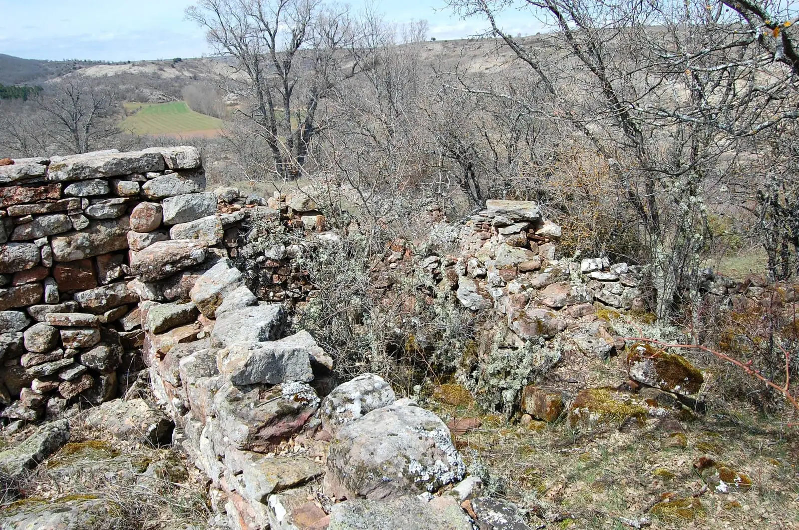
La Cava (Luzón): a Celtiberian town above the Tajuña
LuzónTajuña gorges: 11 km of river between Anguita and Luzón
AnguitaLos Artesones valley (Ablanque): pine woods and sandstone along the Ablanquejo
Ablanque
Cueva de la Hoz (Santa María del Espino): Paleolithic art of the Tajuña
Santa María del EspinoCastro de Hocincavero (Anguita)
AnguitaPopulation of Maranchón, 1842–2021
Maranchón reached a peak of 2,023 inhabitants in 1920 . In the 2021 census there were 232 , a decrease of 89%. This is the history told in the emptying of the Alto Tajo.
Climate in Maranchón month by month
2015–2024 averages from Copernicus ERA5 reanalysis for an altitude of approx. 1,248 m. Useful for planning, not a substitute for live forecasts.
Location
● Reference point · ● Villages · ● Places
Location diagram. Detailed map with tracks and names loads on zoom.
Reference villages: Ciruelos del Pinar · Mazarete · Luzón · Codes.
Open the full map and historical layers →