Route · Maranchón, Establés, Tartanedo, Tortuera, Embid
GR-168, Camino Real de Aragón, through the Sexma del Campo
The GR-168 recovers the Camino Real de Aragón, the historic Madrid-Zaragoza highway via Daroca until the early 19th century. Certified by the regional federation, its four stages cover nearly 60 km across the Sexma del Campo between Maranchón and Embid.
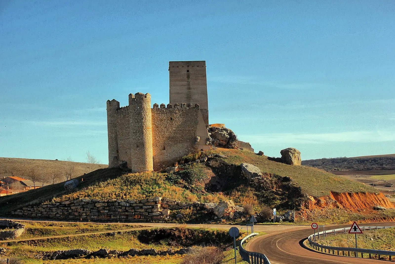
Lands and landscapes
From here, follow the memory of the territory
These readings connect GR-168, Camino Real de Aragón, through the Sexma del Campo with the history, work, and villages around it.
- Code
- GR-168
- Distance
- 58.9 km
- Trail type
- Linear
- Difficulty
- Moderate
- Best season
- Spring and autumn
- Altitude
- 1,245 m
Walking duration without transfers or stops. Check in the official source whether distance and time include the return leg. Difficulty rated according to the official source; verify its conditions and notices. “Easy” does not imply wheelchair or stroller accessibility.
- GR-168
- 4 stages
- Parameras and Dupont's lark
- Historic inns and manors
The historic royal highway
Before the route to Zaragoza was redirected through Calatayud (the present A-2 corridor), the Camino Real de Aragón climbed through the uplands of Guadalajara towards Daroca. It was a carriage road, the principal artery between Madrid and Zaragoza between the 16th and 18th centuries. Its villages preserve historic coaching inns, post houses, and molinesa manor houses reflecting past trade.
The route
Runs from Maranchón to Embid via Establés, Tartanedo, and Tortuera, joining the certified section between Anchuela del Campo and Embid. The first stage, of about 23.5 km and 400 m cumulative elevation gain, is moderately demanding due to length and ends crossing the Mesa River at the entrance of its canyon. It traverses SPA areas of the Parameras de Maranchón and Lagunas y parameras del Señorío.
Steppe birdlife
Combines canyon birds of prey with steppe birds of the paramera plateau, notably the elusive Dupont’s lark, which finds one of its last European strongholds here. Avoid days with high winds or extreme temperatures: the terrain is fully exposed.
Before you set out
Carry water, mountain footwear, and download the GPS track in advance: mobile reception is absent in many areas. Check the forecast on Today in the Alto Tajo and the official trail sheet for notices and closures, and respect seasonal restrictions during raptor breeding periods.
Official route · Federación de Deportes de Montaña de Castilla-La Mancha. Description, track and notices on the official guide. Before setting out, verify there whether changes or closures apply.
Location
● Reference point · ● Villages · ● Places · ━ Simplified official route
Location diagram. Detailed map with tracks and names loads on zoom.
Reference villages: Maranchón · Ciruelos del Pinar · Luzón · Mazarete.
Open the full map and historical layers →