Episode · 1900 – today · Villages that emptied
White earth: kaolin in Alto Tajo
The Utrillas sands of Peñalén and Poveda de la Sierra first yielded ochre, extracted at Santa Engracia until 1936. Open-pit kaolin mining began in 1965: these mines supply around 60% of Spain’s kaolin. The price was erosion gullies and sediment in the Tagus. Today, the area is a laboratory for geomorphological restoration, supported by €2.9 million from the European LIFE RIBERMINE project.
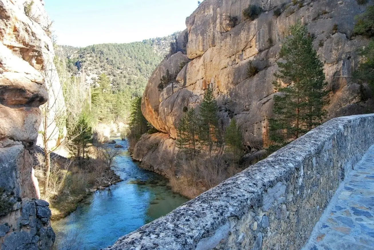
Photo: El Observario
Earth for painting
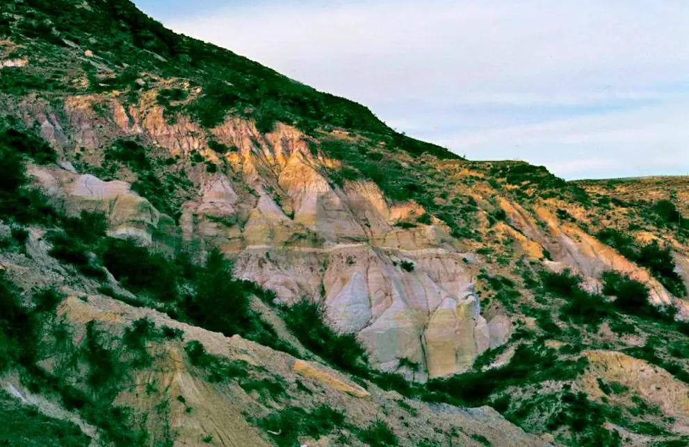
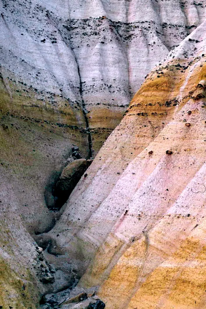
Beside Peñalén, the Utrillas sands reach the surface: white, yellow and reddish layers laid down in the Cretaceous. They yielded two very different riches. The first was colour. In Santa Engracia mine, miners followed horizontal galleries with rails and carts to find the clays richest in iron. They ground and roasted them to make ochre for paint. The mine operated until 1936. The white sands from those same layers were used at home to scrub and whiten wood.
White gold
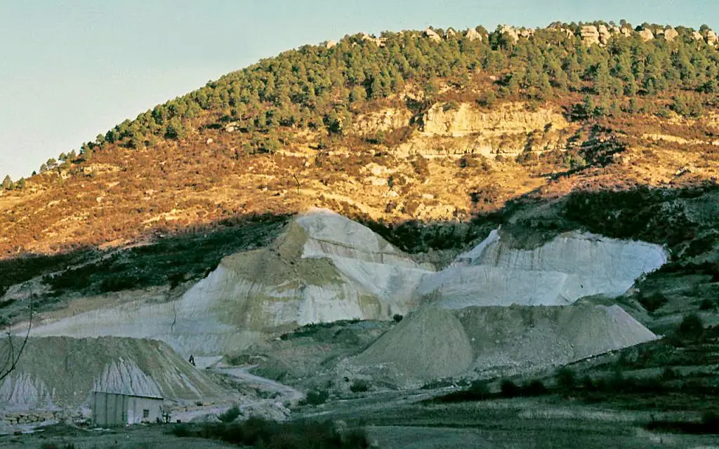
The second richness was kaolin, a fine white clay needed in large quantities by the ceramics industry. Modern mechanised open-pit mining began in 1965, at María José mine, in the catchments of the Tajuelo and Merdero streams between Poveda de la Sierra and Peñalén. Over the years, these mines came to produce around 60% of Spain’s kaolin. By the late 20th century they provided an important share of local jobs, in villages whose populations were dwindling.
Photographs from 1974 and 1975 preserved on Wikimedia Commons already show the white pits beside Poveda and the erosion gullies cut into Peñalén’s kaolin.
The price on the river
Kaolin is fine and light. During storms, water strips sand and clay from natural gullies, but also from unprotected waste heaps and pits, and carries it into the Tagus. This was studied closely for years: in a single winter, 2009–2010, the check dams in the Peñalén stream catchment trapped 6,200 tonnes of sediment in less than two months. That mud covers the gravel where trout spawn, which is why projects were undertaken to restore their spawning grounds.
The mining concessions predate the Natural Park and were left outside its boundaries, but lie within the same catchments: everything flowing down from them ends up in the Tagus.
A restoration laboratory
The story does not end with the problem. Since 2007, Complutense University, the mining company and the Park have worked together to measure erosion and address it. Some mines were restored by imitating natural terrain, with slopes and hollows that channel water without stripping away soil. Studies indicate that they retain soil much better than sites without these measures.
In 2020 the European LIFE RIBERMINE project began, with almost €3 million, to restore the old Santa Engracia mine. First the waste heaps were reshaped into natural forms; then seeds of local grasses were sown, with organic erosion-control blankets protecting the soil on the steepest slopes. Work in Alto Tajo began in July 2020. The mine that started by bringing colour to walls is now a lesson in how to heal a landscape.
Looking with new eyes
The white patches on the hillsides are still visible from the road between Peñalén and Poveda. They belong to Alto Tajo’s memory as much as a shepherd’s hut or a saltworks: the memory of a territory that, when timber and resin ran out, kept looking to its earth for a living.
From the archive



Vocabulary
- Kaolin
- A very fine white clay used mainly in ceramics, paper and paint. In Alto Tajo it occurs in the Utrillas sands.
- Utrillas sands
- White or multicoloured layers of Cretaceous sand and clay containing concentrations of kaolin and iron oxides.
- Open pit
- An excavation open to the sky, made to extract a mineral.
- Mine waste heap
- A mound beside a mine containing material that has been extracted but cannot be used.
- Erosion gully
- A deep channel cut by rainwater into soft ground without vegetation.
- Spawning ground
- A stretch of clean river gravel where trout lay their eggs. Fine sediment suffocates it.
- Geomorphological restoration
- Reshaping a mined landscape to imitate natural slopes and ravines, so that water flows without carrying away the soil.
Where to see it today
Peñalén Bridge or Puente del Tío Lucas: a 1943 crossing between rock fins
Peñalen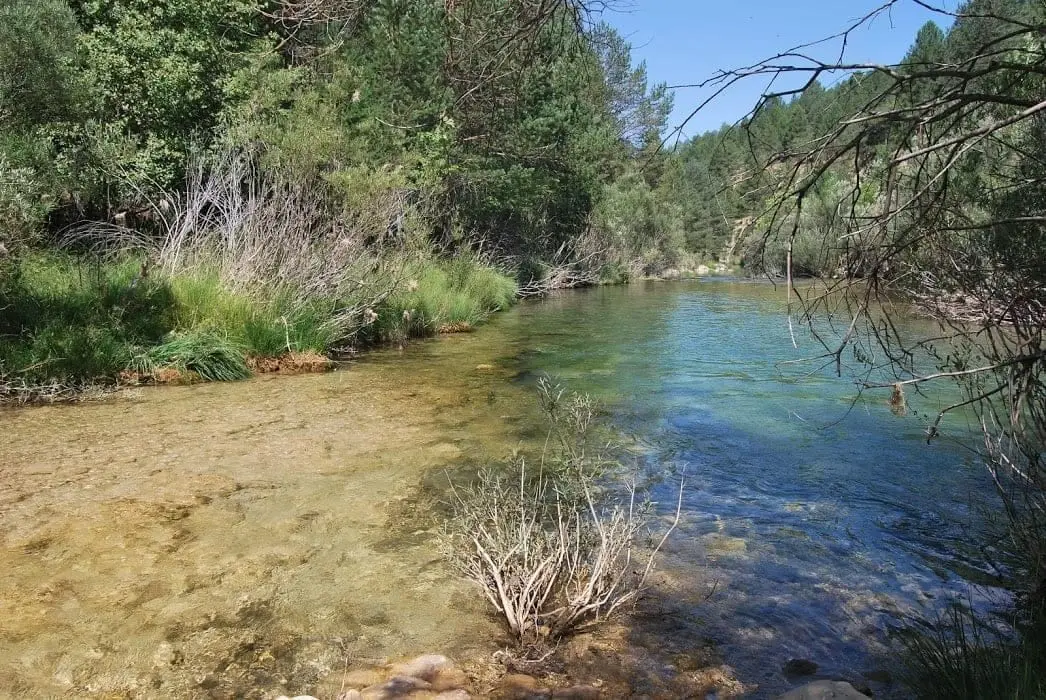
Las Juntas of the Tagus and Hoz Seca: where the Tajillo becomes the Tagus
Checa, Peralejos de las Truchas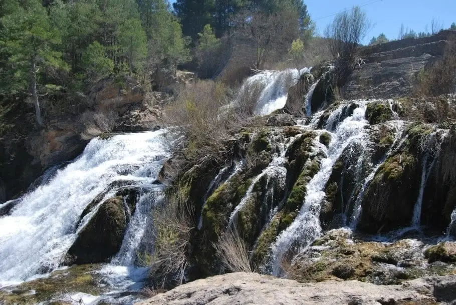
Salto de Poveda: The Largest Waterfall in Alto Tajo
Poveda de la Sierra, Taravilla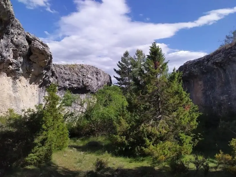
Geotrail 6: from Villanueva de Alcorón to Peñalén
22 km · 5 h · LinearFrequently asked questions
Are there kaolin mines in Alto Tajo?
Yes. Kaolin has been mined in open pits between Poveda de la Sierra and Peñalén since 1965, in the catchments of the Tajuelo and Merdero streams. The mines lie outside the Natural Park because their concessions predate 1999, but they drain into the Tagus.
Why does the Tagus sometimes run white?
Because it carries sand and kaolin. Some comes from natural erosion gullies in the Utrillas sands, and some from the mining areas. After heavy rain, at Puente de San Pedro you can see the whitish Tagus beside the reddish Gallo.
What is LIFE RIBERMINE?
A European project presented in 2020, with almost three million euros, to restore the old Santa Engracia mine in Peñalén: reshape the terrain into natural forms, revegetate the waste heaps and reduce the sediment reaching the Tagus.
Sources and readings
- Martín Moreno, C.: Cuantificación de la producción de sedimentos en la zona minera del Parque Natural del Alto Tajo. Tesis doctoral, Universidad Complutense de Madrid, 2013.
- Zapico Alonso, I.: Transporte de sedimentos y restauración geomorfológica en la zona minera del Parque Natural del Alto Tajo. Tesis doctoral, UCM, 2017.
- Parque Natural del Alto Tajo: Memoria de actividades 2020 y Boletín del 20 aniversario (LIFE RIBERMINE, LIFE18 ENV/ES/000181).
- Confederación Hidrográfica del Tajo: informe de viabilidad del proyecto de mejora del estado ecológico del Tajo afectado por vertidos de caolín (Poveda de la Sierra y Peñalén).
- Rehabilitación de frezaderos de la trucha común en el Alto Tajo. Informe final 2008-2009.
- Larriba, L. A.: «Usos tradicionales de las arcillas del Geoparque». Actas del IV Congreso de Geología y Minería Ambiental, Molina de Aragón, 2016.
Further reading on the history of this land. Full bibliography.
Next story: Life that returns (and life that disappears)